
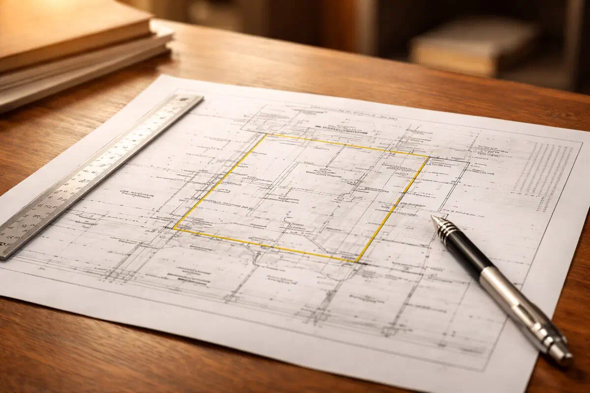
The Survey Is a Contract Document, Not Just a Picture
On a Texas resale, the survey isn’t a formality. The title company relies on it for area and boundary coverage, the buyer’s lender wants it, and the buyer’s right to object to what it shows runs on a deadline in the contract. If nobody on the file actually reads it, the problems it shows turn up at the closing table instead of in the objection period.
You don’t need to be a surveyor to read one. You need to know where the boundary lines are, what’s drawn inside them, and what to flag to the agent.
Table of Contents
▼Start With the Boundary Lines
The heavy lines on the survey are the property boundaries. Each line carries two pieces of information.
Distance
Distances are in feet and decimal feet. 125.50’ is 125 feet 6 inches, not 125 feet 50 inches. 42.00’ is exactly 42 feet. These are the lot dimensions, and the survey is a better source for them than the tax records or the MLS.
Bearing
A bearing is the direction the line runs, written in compass notation such as N 45° 30’ 15" E:
- N or S is where you start, north or south
- 45° 30’ 15" is the angle, in degrees, minutes and seconds
- E or W is the direction you turn, east or west
So N 45° 30’ E means start facing north and turn 45 degrees 30 minutes toward east. Nobody on the file needs to check the surveyor’s math. What matters is that each line has a distance and a direction, and together they close the shape of the lot.
Read the Legend and the Markers
Every survey has a legend, usually in a corner, that identifies its symbols. The ones you’ll see most:
- Iron rod or iron pin at a lot corner, the physical boundary marker
- “Found” or “Set”: found means the surveyor located an existing marker; set means they placed a new one
- Capped rod: a marker stamped with the surveyor’s name or registration number
- Hatched or outlined shapes: the house, garage, sheds, pool and other structures
- Thin lines with labels: fences, often marked with the material (wood, chain link, iron)
- OHW or similar: overhead wires
Also read the title block: the legal description, the date of the survey, the surveyor’s name and registration, and the GF number if one is shown. That date of survey matters later, because it’s the date the T-47 is measured from.
Easements
An easement gives someone other than the owner the right to use part of the land. The owner still owns it, but what they can put there is limited. Easements show as dashed lines or shaded strips, usually labeled with a width and a type:
- Utility easement: power, water, gas, sewer or telecom lines, often along the rear or side of the lot
- Drainage easement: where water is meant to flow; structures and grading that block it are a problem
- Access easement: a right of way across the lot, such as a shared driveway
Many easements on a survey are the ones created by the subdivision plat. The TREC contract already lists those as permitted exceptions in ¶6A(4), “Utility easements created by the dedication deed or plat of the subdivision.” Easements that come from a separate recorded document will show up in the title commitment’s exceptions, and the survey shows where they fall on the ground.
Building Setback Lines
Setback lines are dashed lines that run parallel to the boundaries, set by the plat, the deed restrictions or the city. Permanent structures aren’t supposed to cross them. The survey shows the distance from each structure to the nearest line, so you can see at a glance whether the house, garage or a later addition sits inside the setbacks.
Encroachments: What Actually Holds Up Closings
An encroachment is an improvement that crosses a line it shouldn’t: a boundary, a setback line or an easement. It can go either way. The seller’s improvements can cross onto a neighbor’s lot or into an easement, and a neighbor’s improvements can cross onto the seller’s lot.
Common examples:
- A fence a few inches or a few feet off the property line
- A neighbor’s shed or carport over the line
- A patio, slab or deck in a utility or drainage easement
- A room addition, garage conversion or pool closer to the line than the setback allows
In our experience, a fence a few inches off the line is common, and title can often work with it. A structure sitting in an easement or across a property line is different. That can lead to an exception on the title policy, a cure the seller may not be able to make, and a buyer deciding whether to object. Whether a specific encroachment is a title problem is the title company’s call, and what it means for the client is a question for a real estate attorney.
Flood Zone Notes
Most residential surveys include a note from the surveyor about the FEMA flood zone, often with the map panel number and date. It usually sits in the notes block near the title, not on the drawing itself. Zone X is generally outside the mapped 100-year floodplain; zones that start with A or V are inside it.
Check that note against what the seller said on the Seller’s Disclosure (TREC 55-1, also TXR-1406), which asks about flood history and floodplain location. If the survey puts the lot in a mapped flood zone and the disclosure doesn’t line up, flag it to the agent. A mapped flood zone can also mean the buyer’s lender requires flood insurance, which the buyer’s agent will want to know early.
Plat vs Survey
The plat is the recorded map of the whole subdivision: every lot, the streets, common areas and the easements created when the subdivision was platted. The survey is a measurement of one lot as it sits today, including the improvements on it. Agents sometimes get handed a plat and told it’s the survey. It isn’t, and it won’t satisfy ¶6C.
How the Survey Ties to the Contract
The survey has its own paragraph in the TREC One to Four Family Residential Contract (Resale), TREC 20-19. For the full walkthrough, see the T-47 and the survey paragraph. The short version:
¶6C picks the survey. The survey has to be made by a registered professional land surveyor “acceptable to the Title Company and Buyer’s lender(s).” The parties check one box: (1) the seller furnishes the existing survey with a T-47 affidavit or T-47.1 declaration, (2) the buyer gets a new survey at the buyer’s expense, or (3) the seller furnishes a new survey at the seller’s expense.
The T-47 is measured from the date of survey. On the T-47, the seller states that, to the best of their actual knowledge, there have been no new structures, rooms, garages, pools, decking or other permanent improvements, no changes in boundary fences or walls, no construction near the boundary on adjoining property, and no conveyances, replats or easement grants since the date of the survey, except what they list. So when you read an existing survey, compare it to the property today. A pool in the listing photos that isn’t on a 2012 survey is an exception the seller has to list, and possibly a new survey.
¶6D sets the objection clock. The buyer may object in writing to defects, exceptions or encumbrances disclosed on the survey, other than items 6A(1) through (7). The deadline is the earlier of the Closing Date or the number of days written in after the buyer receives the commitment, the exception documents and the survey. The seller then has a 15-day Cure Period, and the buyer has 5 days after it to terminate or waive. If the survey is revised, the buyer gets the same window again for anything new.
¶6A(8) and “shortages in area.” The parties also choose whether the title policy’s survey exception stays as printed or is amended to read “shortages in area,” and who pays for that amendment. That depends on the title company accepting the survey, which is one more reason to get it read early.
What Agents Check First
When the survey comes in, these are the items agents usually check first:
- Anything crossing a line: improvements over a boundary, setback line or easement, either direction
- Improvements on the ground that aren’t on the survey: pool, addition, garage conversion, shed, new or moved fence
- The date of survey, and whether it matches the date on the T-47 or T-47.1
- The legal description and address, checked against the contract and the title commitment
- The flood zone note, checked against the Seller’s Disclosure
- Easements the title commitment lists that you can’t find on the survey, or the reverse
- The date you received it, because the objection deadline may run from that day
What to do with any of it is the agent’s call, with their broker and their client. Whether an item is worth an objection, and what it means for the buyer or seller, isn’t a call for the TC.
Who Decides What’s Acceptable
Whether ¶6C(1) works depends on what has been built, added or moved since the survey date. Whether an encroachment or easement is acceptable for the buyer’s plans is a question for a real estate attorney, and the contract itself advises having the commitment reviewed by an attorney of the buyer’s choice.
How Our TCs Handle It
On every Texas file, we:
- Note the ¶6C box, its deadline and who pays if the existing survey isn’t accepted, plus the ¶6A(8) choice, and add those dates to the deadline timeline
- Request the existing survey and the T-47 or T-47.1 through the listing agent, and send them to title, with the agent copied on everything
- Track when the commitment, exception documents and survey are received, since the objection clock depends on all three
- Add the objection, cure and terminate-or-waive dates to the deadline timeline, with 48-hour reminders
- Follow up with title and the lender on survey acceptance, and include survey status in the Monday key-dates report and the Thursday status report
If the T-47 or T-47.1 is used, we fill it out only at your specific written direction and send it to you to review and take to your seller. We track signatures and deliver it to title. We don’t review the survey, we don’t decide whether it’s acceptable, and we don’t advise on objections. The agent and the broker do.